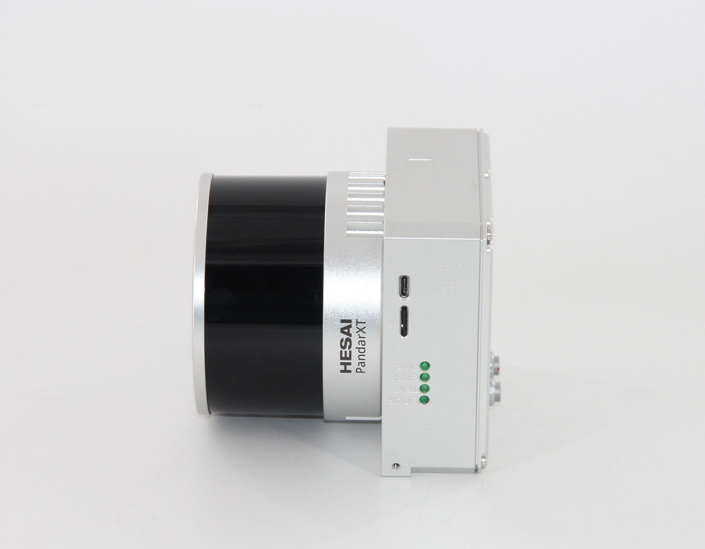


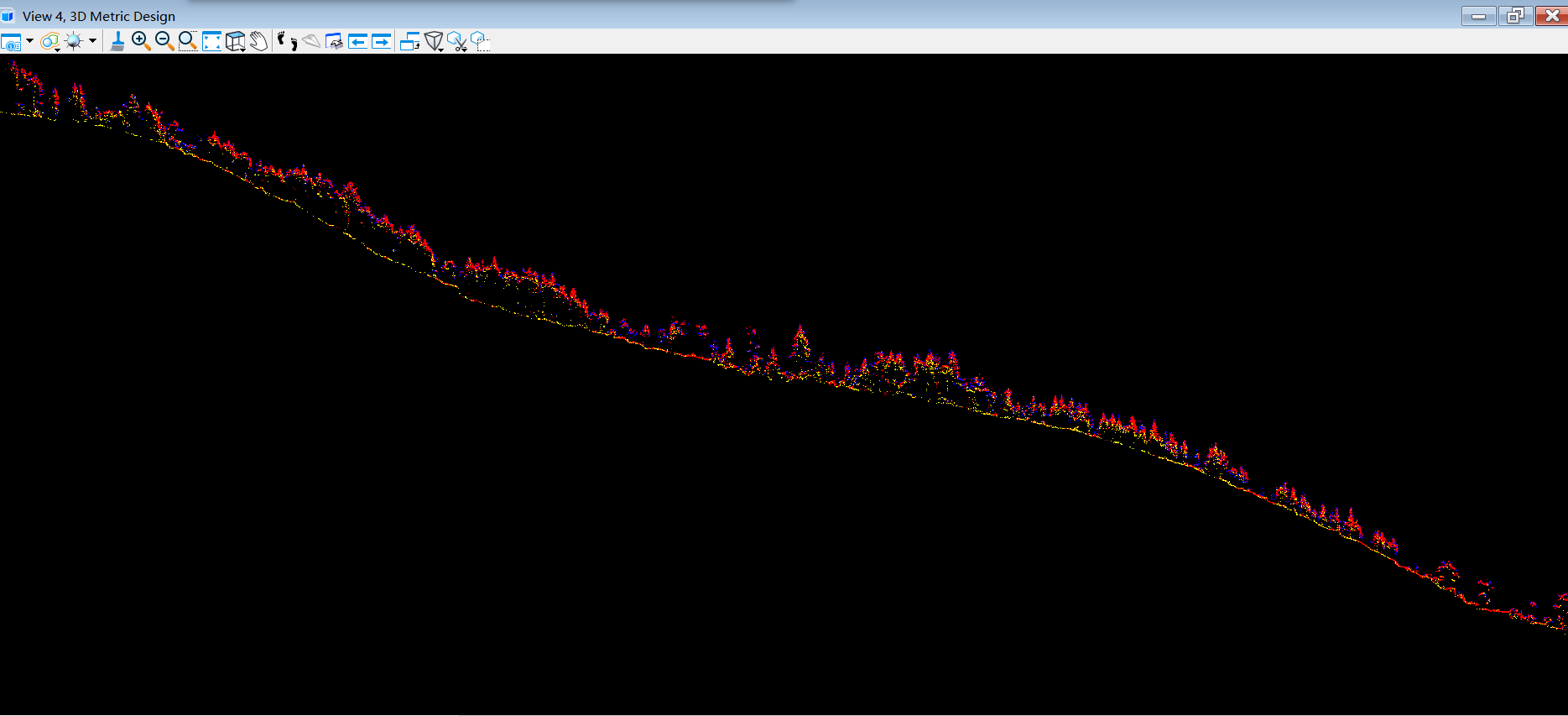
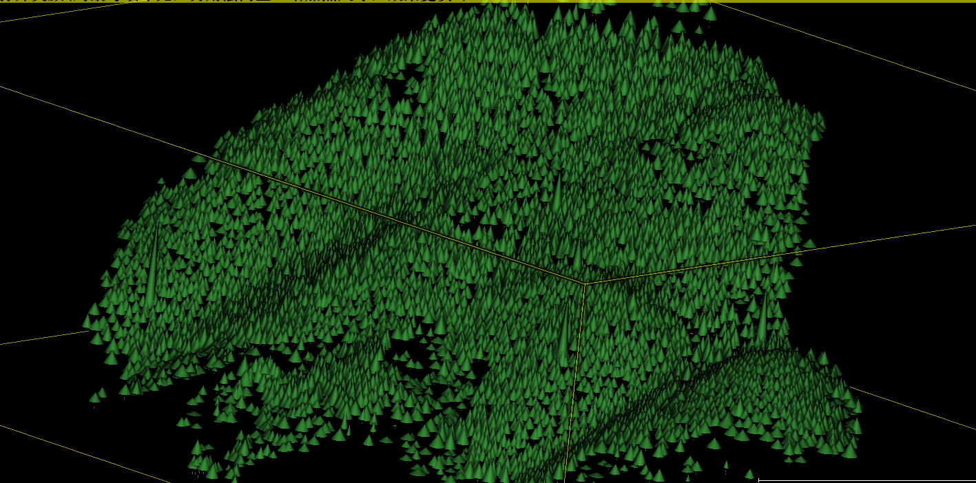
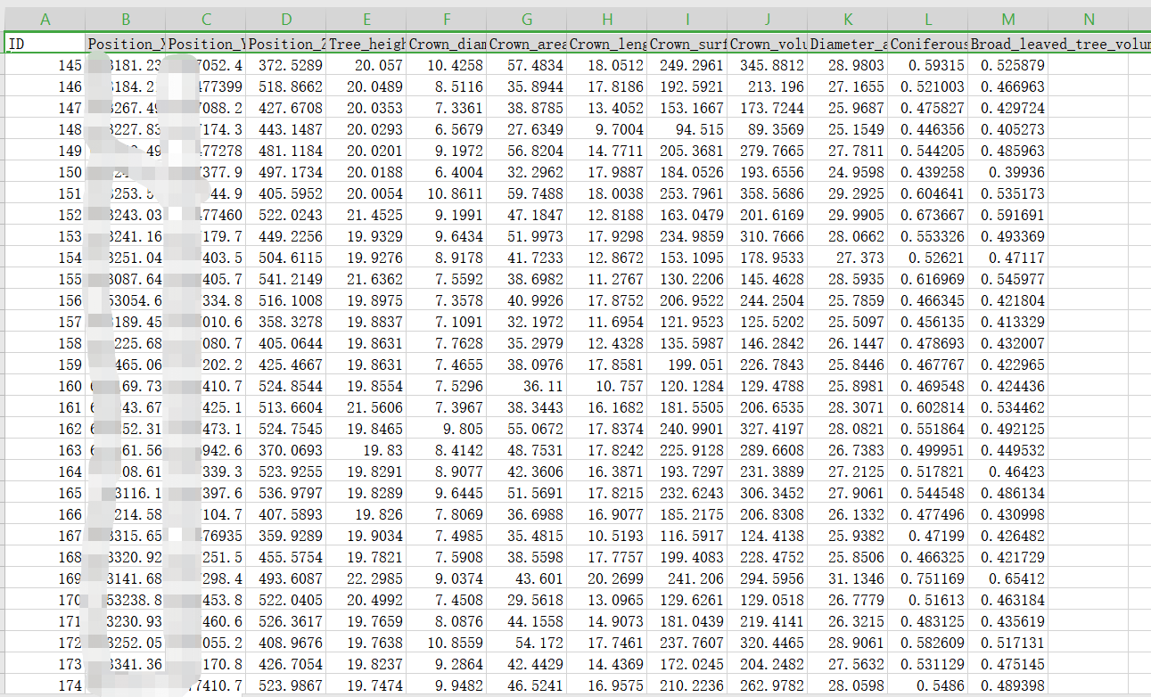
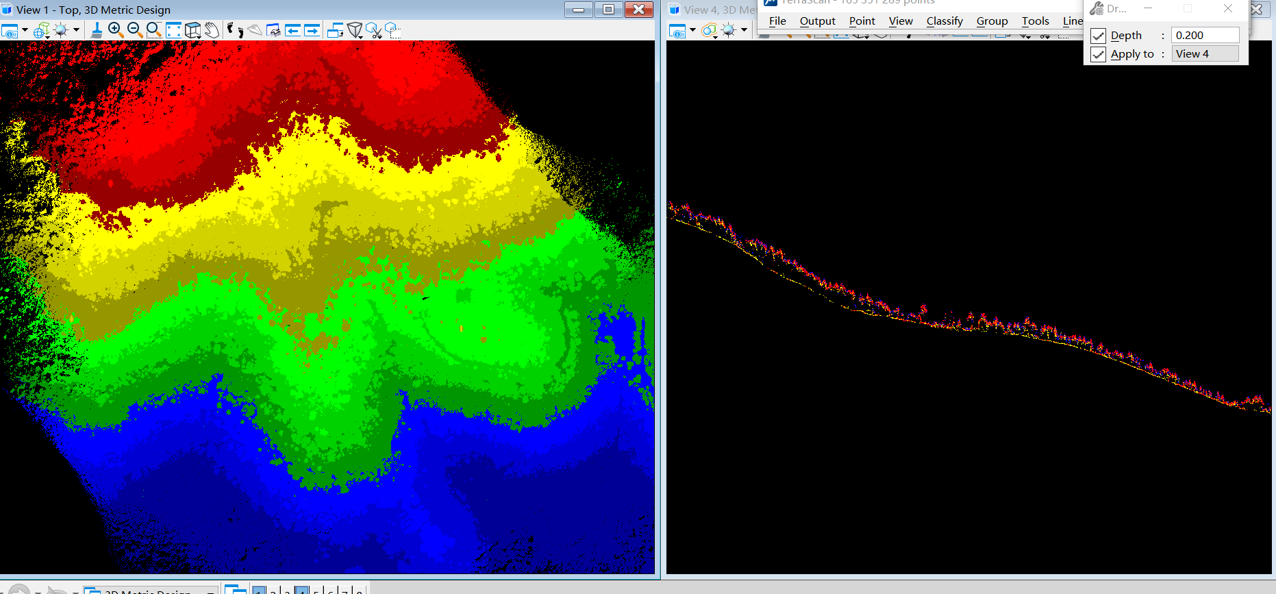
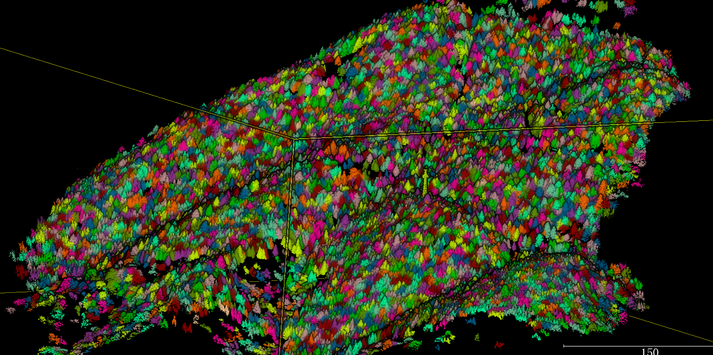
gAirHawk GS-260X is a kind of Mid-range, compact LiDAR point cloud data acquisition system, integrated HESAI Pandar XT laser scanner, GNSS and IMU positioning and attitude determination system, and storage control unit, is able to real-time, dynamically, massively collect high-precision point cloud data and rich image information. It is widely used in the acquisition of 3D spatial information in surveying, electricity, forestry, agriculture, land planning.
Specification
| gAirHawk GS-260X | ||
| Item Name | System Parameters | |
Parameters | Weight | 1.15 kg |
| Measuring accuracy | Less than 0.1m/0.05m(@150m) | |
| Working temperature | -20℃~+65℃ | |
| Power range | 12 V- 24 V | |
| Consumption | 10 W | |
| Carrying Platform | DJI M300, M600 PRO and Other brand | |
| Storage | 64 GB storage, maximum support 128GB TF card | |
Lidar Unit
| Measuring Range | 80m@10% Reflectivity (Max 300m) |
| Laser class | 905nm Class1 (IEC 60825-1:2014) | |
| Channel | 32-Channel | |
| Range accuracy | ±1cm (typical Value) | |
| Scanning frequency | 10HZ, 20HZ | |
| data | Trible echo 1,920,000 Points/Sec | |
| FOV | 360°, adjustable | |
| Laser sensor | HESAI Pandar XTM2X | |
| POS Unit | Update frequency | 200HZ |
| Heading accuracy | 0.017° | |
| Pitch accuracy | 0.005° | |
| Rolling accuracy | 0.005° | |
| Position accuracy | ≤0.05m | |
| GNSS signal type | GPSL1/L2/L5 GLONASSL1/L2 BDS B1/B2/B3 GAL E1/E5a/5b | |
| Pre-processing software | POS software | Output information: position, speed, attitude |
| Point cloud software | Output point cloud data format: LAS format, custom TXT format | |
Camera (built-in) | FOV | 83 Degree |
| Effective Pixel | 26 Mega Pixel | |
| Trigger event | Distance or Time trigger | |
-
VTOL aircraft
- HERO 2180mm UAV VTOL
- M-Eagle A3 VTOL Drone
- M-Eagle A4 Mapping VTOL Drone
- PilotWhale 270 PRO VTOL
- Sperm Whale 420 VTOL FIXED WING UAV
- Narwhal 300 VTOL UAV ARF
- Humpback Whales 320 VTOL
- Beluga heavy load VTOL drone
- Great Big Shark 320
- Great Shark Hybrid 380 VTOL
- Swan-K1 PRO VTOL UAV
- Gmini G-25 VTOL UAV
- Gmini G-35 VTOL UAV
- G-50 VTOL Heavy Load VTOL
- HEQ SWAN K1 PRO
- Drones
- GCS&Link system

Your cart is currently empty.